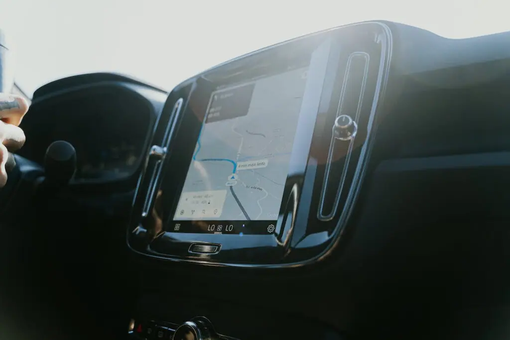
In today’s fast-paced world, the ability to track and locate vehicles in real time has become an essential tool for businesses, individuals, and law enforcement agencies alike. Car trackers, also known as GPS trackers or vehicle tracking devices, have revolutionized how we monitor and manage our vehicles. In this article, we will explore the positioning technology behind car trackers and how it has transformed the landscape of vehicle tracking.
GNSS (Global Navigation Satellite System)
GNSS (Global Navigation Satellite System) positioning technology is a satellite-based system that allows for precise positioning, navigation, and timing information on Earth. It uses a network of satellites in space, along with ground-based receivers, to determine the location, velocity, and time information of receivers on or near the Earth’s surface. GNSS positioning technology relies on signals transmitted from multiple satellites that are received by GNSS receivers on the ground. These signals contain information about the satellites’ locations and precise timing, which the receivers use to calculate the user’s position. By receiving signals from multiple satellites simultaneously, the GNSS receiver can determine the user’s location with high accuracy, typically within a few meters. GNSS positioning technology is used in a wide range of applications, including navigation for vehicles, ships, and aircraft; tracking and monitoring of assets and personnel; surveying and mapping; geolocation for emergency services; and precision timing for telecommunications, financial transactions, and scientific research.Global Positioning System (GPS)
Global Positioning System (GPS): GPS is a satellite-based positioning technology that utilizes a network of satellites in orbit around the Earth to determine precise location coordinates. Car trackers equipped with GPS technology receive signals from GPS satellites to accurately determine the location of a vehicle in real time. GPS is widely used in car trackers due to its global coverage, high accuracy, and reliability.Global Navigation Satellite System (GLONASS)
GLONASS is a global navigation satellite system developed by Russia that is similar to GPS. It uses a constellation of satellites to provide positioning and tracking information, and car trackers with GLONASS technology receive signals from GLONASS satellites to determine the location of a vehicle. GLONASS is particularly useful in regions where GPS signals may be limited, as it provides an alternative source of satellite positioning data.
Galileo
Galileo is another global satellite navigation system developed by the European Union and European Space Agency. Similar to GPS and GLONASS, Galileo provides positioning and tracking information using a constellation of satellites. Car trackers with Galileo technology receive signals from Galileo satellites to determine the location of a vehicle. Galileo is known for its accuracy and reliability and is used in various applications, including car tracking.
BDS (BeiDou Navigation Satellite System)
BDS is China’s global satellite positioning and navigation system, similar to GPS, GLONASS, and Galileo. It uses satellites to provide positioning, navigation, and timing services worldwide for various applications such as transportation, agriculture, and disaster mitigation. BDS is interoperable with other GNSS systems and is expanding its global coverage.
Wifi-Based Car Positioning Measures
WiFi-based car positioning measures estimate the location of a vehicle using signals from nearby WiFi access points. Methods include measuring signal strength, triangulation, fingerprinting, time of flight, or a combination of these methods.
WiFi-based positioning can be cost-effective and work well in urban environments, but accuracy may be impacted by obstacles, signal interference, and WiFi access point density. Careful evaluation is important for reliable use in critical applications.

Conclusion
GPS tracking is a game-changing technology for the logistics industry. It can provide real-time visibility, reduce delivery delays, improve efficiency, and enhance customer experience.
The implementation of GPS tracking requires careful planning, regular maintenance, and communication with stakeholders.
As the technology continues to evolve, the industry will continue to benefit from its use, improving the overall performance and profitability of logistics operations.


